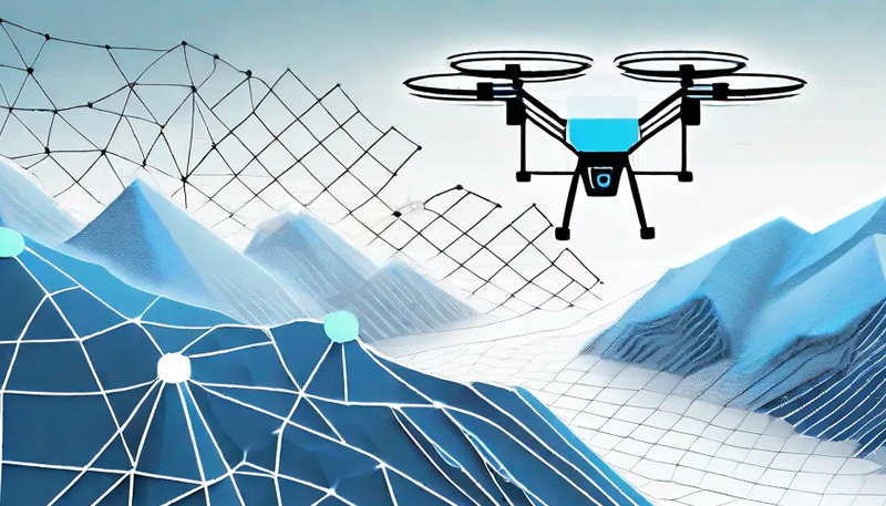
 The Drones


Drone As Services (DAS)
Drone Survey: Drones, or UAV’s (Unmanned Aerial Vehicle), have changed the way survey eco-system works. A single drone flight can capture hundreds of photos and acquire data of large area of lands, providing detailed mapping and measurements. Extensive topographic information such as surface model, elevations and real-time contours are extracted from the captured images. Drone survey is done using RGB, or Thermal or Multispectral cameras.
Land Survey and Mapping
The survey results would give
 2D Orthomosaic of the entire power plant
Digital Elevation Model, Digital Terrain Model
Autocad Drawing of the entire site
Contour of the land along spot levels at interval

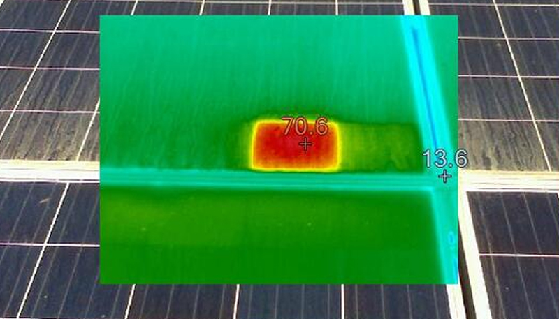
Thermal Mapping Solar Farms & Power Lines
The survey results would give
Thermographic Inspection report
Index Maps
Thermal Maps
High-Resolution Aerial Images
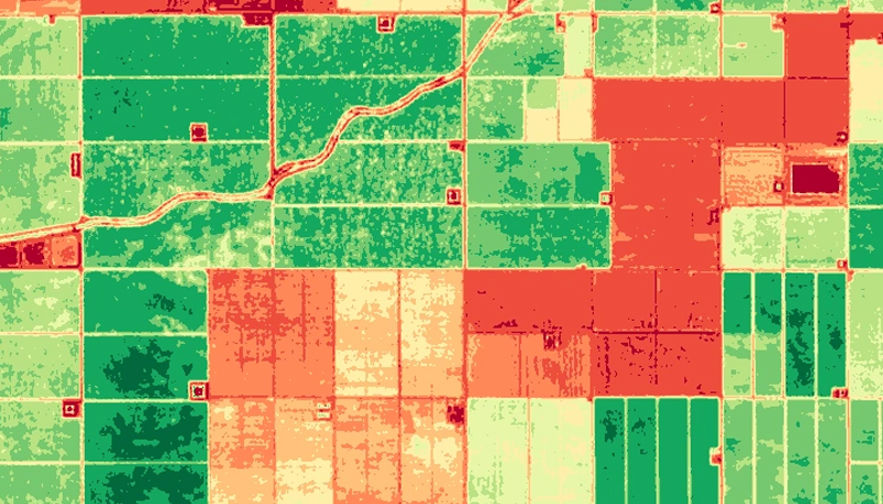
Multi spectral Mapping
The mapping of fields would give
Vegetation index
Zonation maps
Prescription maps
Field boundaries
Volumetric Analysis
The survey results would give
Coal Dumps
Scrap Dumps
Volumetric analysis are done