 The Drones


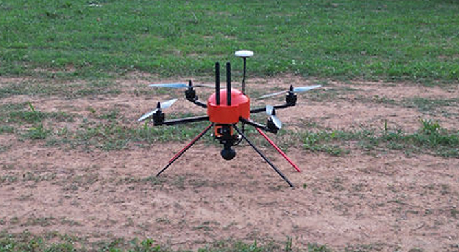
AERIAL SHOTS
These drones are light and can be easily handled by videographers who are keen on aerial shots.
ENDURANCE
The drone has a flight time of 40 minutes, offering exceptional efficiency, reliability, and performance for various agricultural and industrial applications.
INSPECTION
They can carry thermal cameras for the detection of cracks on chimneys, solar panels, railway tracks, Gas pipelines track animals and humans as part of surveillance during night
VARYING PAYLOAD
These drones carry one axis gimbal with EO/IR/Thermal camera for videography and mapping
VARYING FUNCTIONALITY
They can also carry multispectral cameras for providing growers, service providers, and agricultural researchers with a fast and efficient way to scout their crops, identify stress, create treatment plans, track plant growth, and much more.
EASE OF OPERATION & DEPLOYMENT
Our UAV can be easily carried and deployed by one person without any piloting skills as it has auto take-off and land mode with autonomous flight capability.